Maps have always been a fascination for me and with the advent of the centenary of The Great War more interest for a suite of resources will become of value to people interested in researching the war.
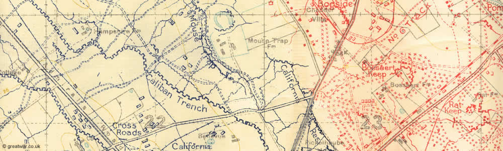
One of the challenges writing this blog is finding the reference made of place names in the War Dairies of the 18th Battalion. I have been using Google Maps to research the place names and have had a challenge extrapolating and confirming the place names. It turns out that the place names using a modern resource such a Google Maps uses the modern Flemish spelling whereas the maps used by the BEF/CEF used the French spelling of the place names.
Thus, Roulers (French spelling) was the place name for Roeselare (Flemish). Therefore the ability to find a place name without using a reference such as the National Library of Scotland World War 1 maps database becomes problematic. But the good people of this resource have a solution. If you type in the name you find on a map or war diary entry in the search field it gives you the modern day Flemish equivalents. So very useful.
Further functionality is simply amazing and one could spend hours just experimenting with the functionality of the site.
Before you do here are two references about maps that will give you some grounding of knowledge before you tackle this. This post is in no way an exhaustive look into this topic but it will be a good starting guide.
Page 1 of NLS overview of trench maps and page 2.
Another overview for comparison.
British Trench Maps Ontology Specification – 1.0: very technical

Discover more from History of the 18th Battalion CEF, "The Fighting Eighteenth"
Subscribe to get the latest posts sent to your email.

Leave a comment